Ski areas from Japan’s past 過去の日本のスキー場を懐かしむ
Wada Toge
Nagawa Town, Nagano Prefecture
和田峠スキー場 長野県長和町
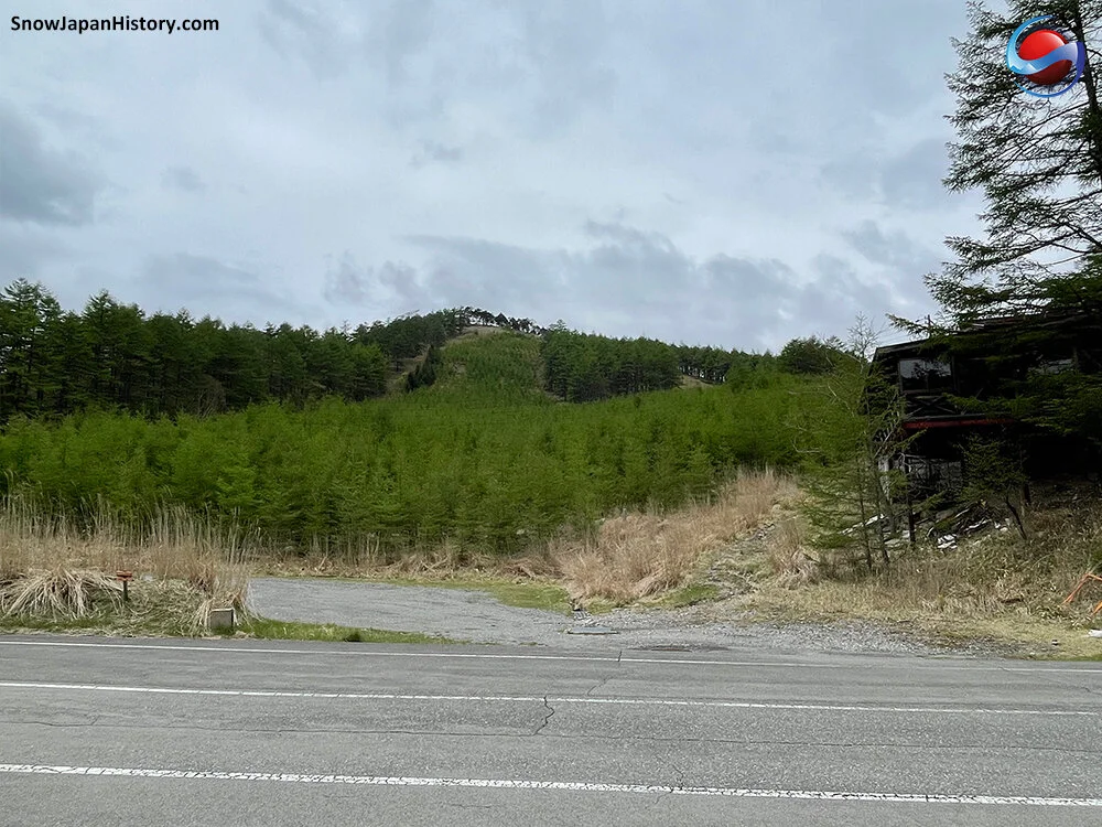
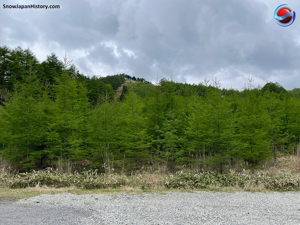
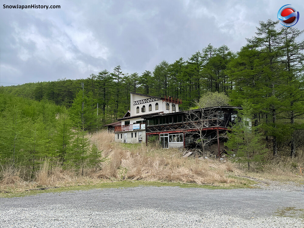
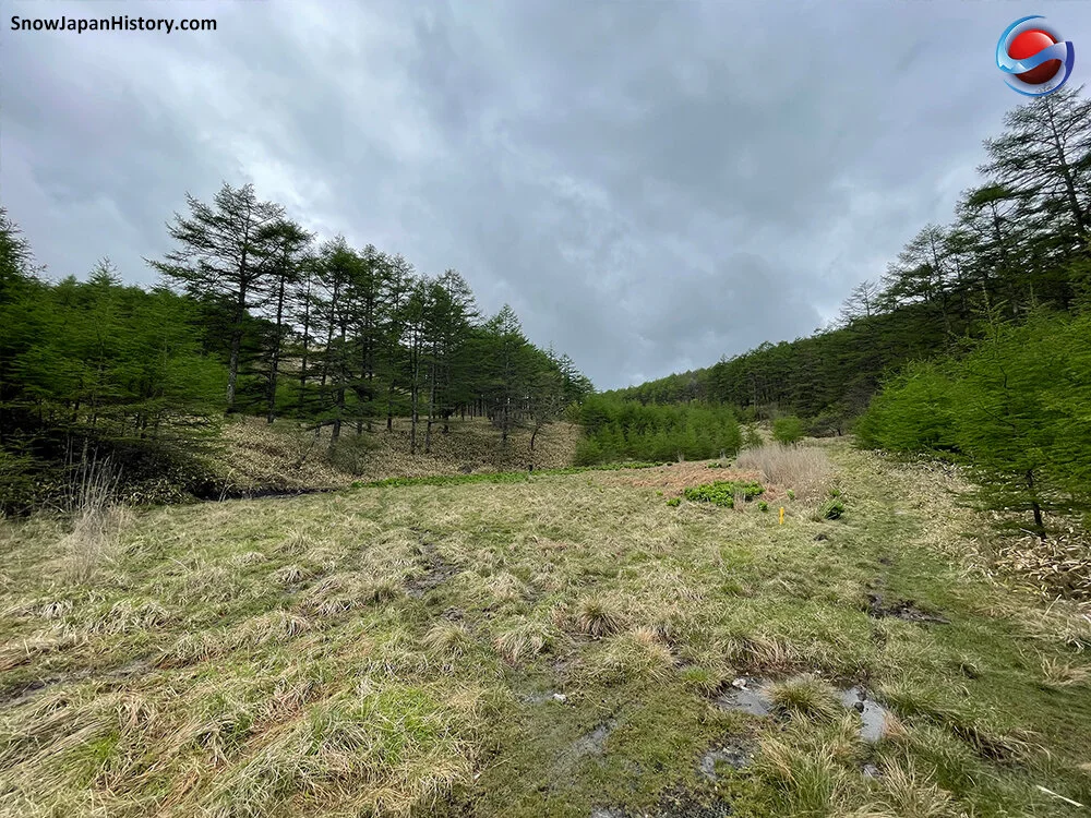
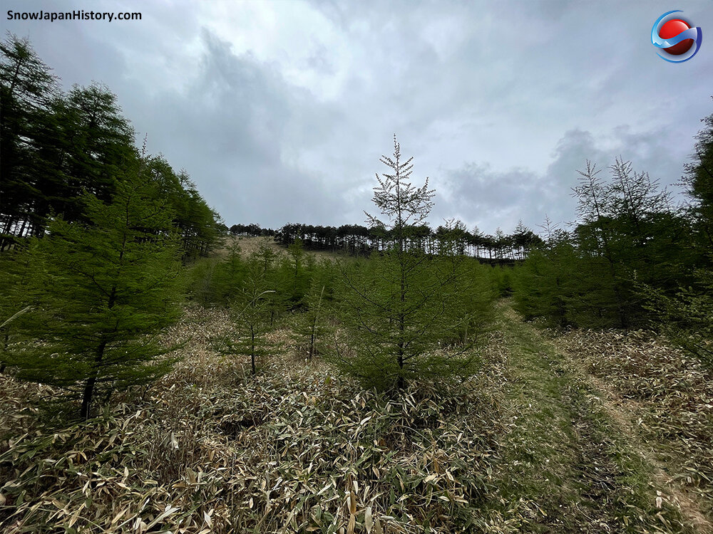
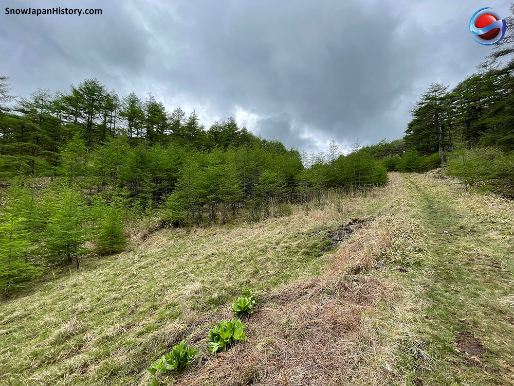
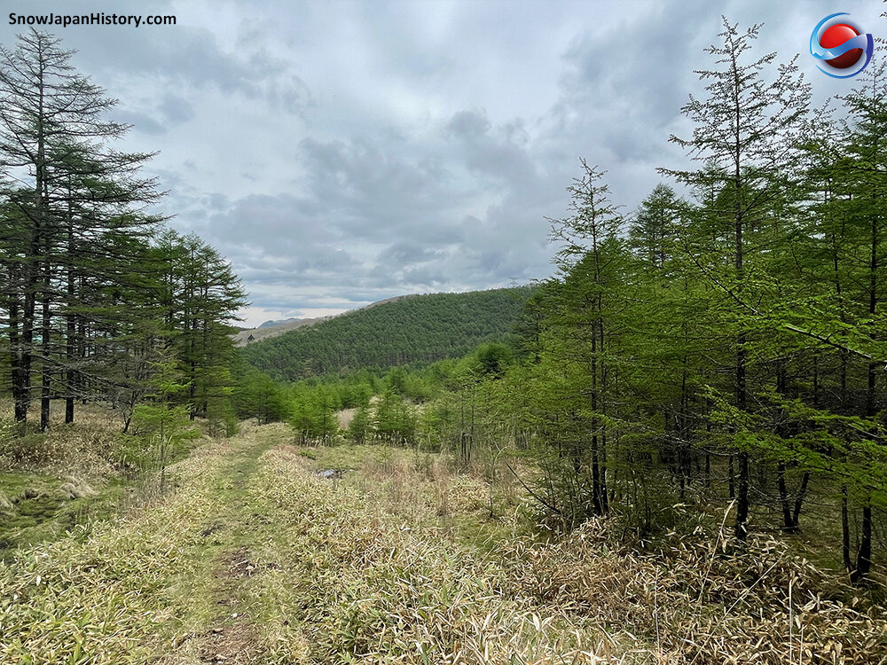
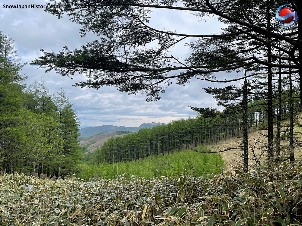
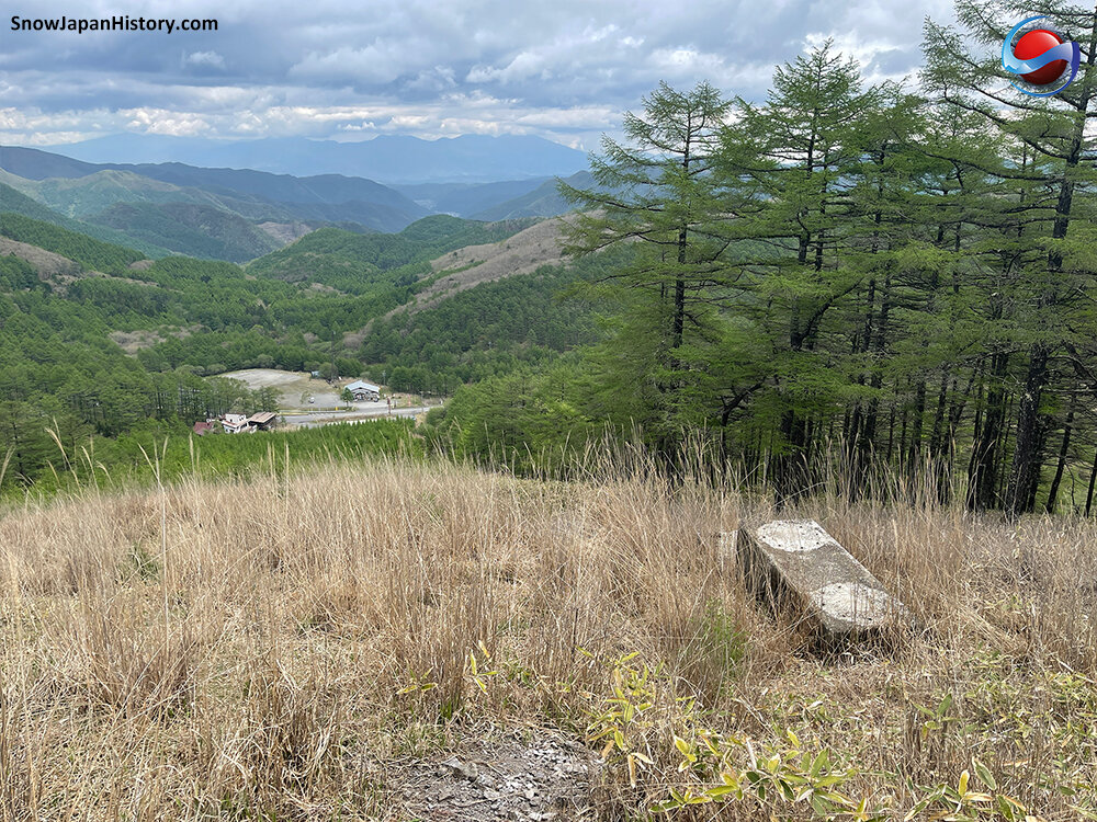
Wada Toge was a ski area located in what used to be Wada Village but is now part of Nagawa Town, in the central region of Nagano Prefecture. The slopes can be found in the region to the south-east of Matsumoto city and to the north-east of Suwa City and Chino City. Wada Toge is located along one of Japans ancient highways, the Nakasendo ('Central Mountain Route'). Thousands of trees have been planted on the old ski slopes since Wada Toge closed in 1998.

| Opened 開設 |
1977 | |
| Closed 閉設 |
1998 | |
| Base elevation 標高最低 |
1,500m | |
| Top elevation 標高最高 |
1,640m | |
| Vertical 標高差 |
140m | |
| Steepest slope 最大斜度 |
28° | |
| Number of courses コース本数 |
4 | |
| Longest run 最長滑走距離 |
700m | |
| Skill level 初級・中級・上級 |
Beginner-intermediate | |
| Ski / board スキー・ボード |
Unknown | |
| Ski lifts リフト本数 |
2 lifts | |
| Single | 392m | |
| Simple rope tow | Unconfirmed | |
| The lift towers have been removed | ||
| Night skiing ナイター設備 |
There was no night skiing | |
Photographs
Taken in May 2021
写真撮影:2021年5月


Further Information
|
Google Earth

Google Street View
Google Maps
By the Venus Line road and just over 500m off Route 142 in Nagawa Town
About 17.5km from the Okaya IC exit of the Nagano Expressway
About 16km from Shimo Suwa Station on the Chuo Honsen line
長野自動車道 岡谷ICから的17.5km
中央本線 下諏訪駅から的16km
All currently operating ski areas in Nagano Prefecture (SnowJapan.com)
This page was created in May 2020
Last updated on 12th August 2022
2020年5月 作成 2022年8月12日 更新