Ski areas from Japan’s past 過去の日本のスキー場を懐かしむ
Sarugedake
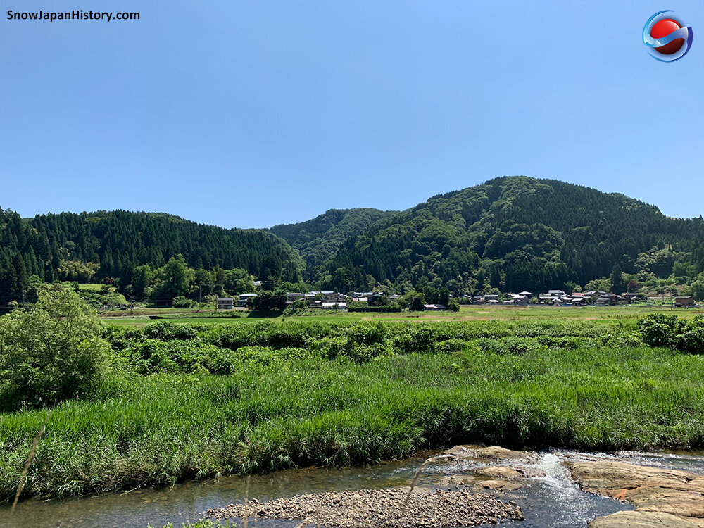
Kamo City, Niigata Prefecture
猿毛岳スキー場 新潟県加茂市
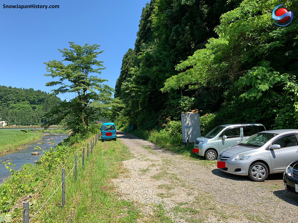
A sunny day in June 2020 was chosen for a trip to try and discover Sarugedake ski area. An official hiking course starts just to the south of the small Saruge neighbourhood. The hiking course goes past a temple and up to a small koya mountain hut at the top. Beyond the hut the remains of a ski lift remain in place, totally consumed by nature since the ski area closed over 40 years ago. The route makes it way down through what used to be the ski area with a few of the towers for the ski lift just about visible in the forest. The remaining foundations of the Sarugedake Lodge buidling can be found at base. The hiking course takes around two and a half hours at a leisurely pace.
>> Details about Sarugake Ski Area
>> Photographs from March 2021 (42 photos)
June 2020
Sarugedake Hiking Course
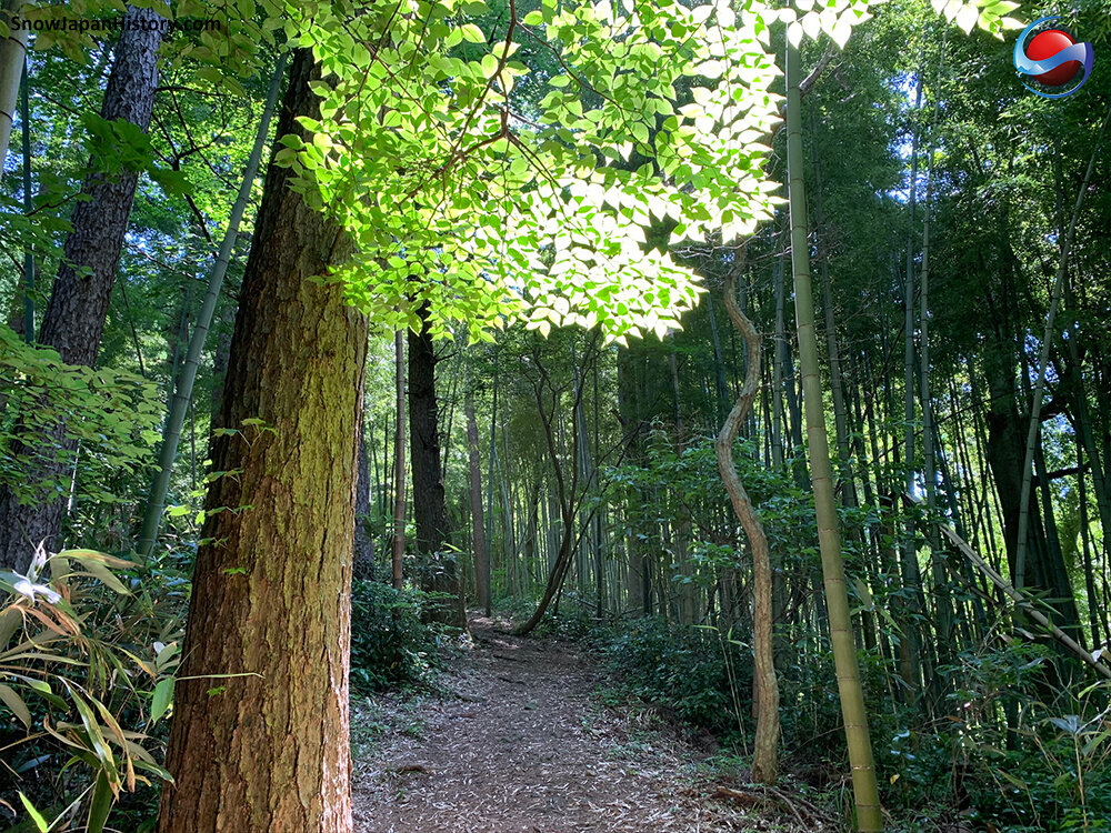
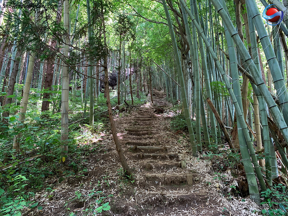
The Sarugedake Hiking Course 猿毛岳ハイキングコース goes from a small car park, past the Hiesha shrine 日枝社, up steep steps and along the ridge of the mountain. In multiple locations along the way, signs say とるのは「写真」だけ 残るのは「足あと」だけ …. ‘take’ only photographs, ‘leave’ only footsteps.


Saruge Koya (Mountain Hut)
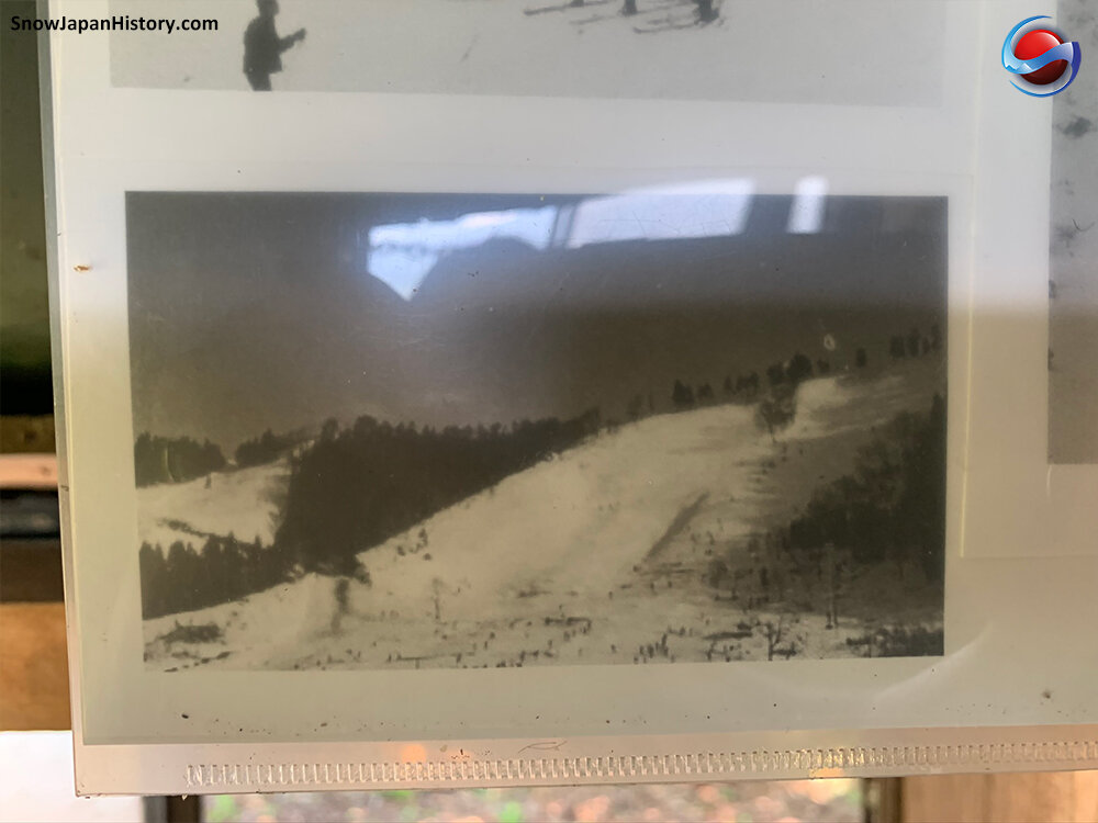
A small mountain hut can be found at the end of the ridge. It is called Saruge Koya 猿毛小屋. Inside the hut is a stove and various information. Of particular interest are the photographs of Sarugedake ski area from 1965. There are also fine views towards the north and south. The last sign asks visitors to refrain from relieving themselves close to the hut; rather, go a bit further along the path near the old ski lift and do it there!


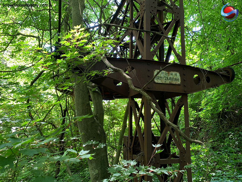
The ski lift
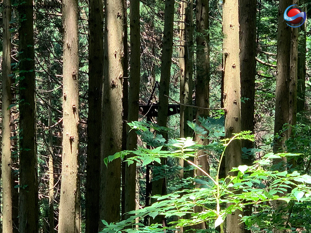
At last! The old ski lift. The top of this ski lift is a short walk beyond the mountain hut and just by the side of the pathway. Even so, in late June it is very easy to miss it with all the forest undergrowth. As well as the top section of the lift, a number of towers going down the mountain can be seen. The cable is still in place. There is no sign of any kind of ski courses…. you can only guess where they might have been!


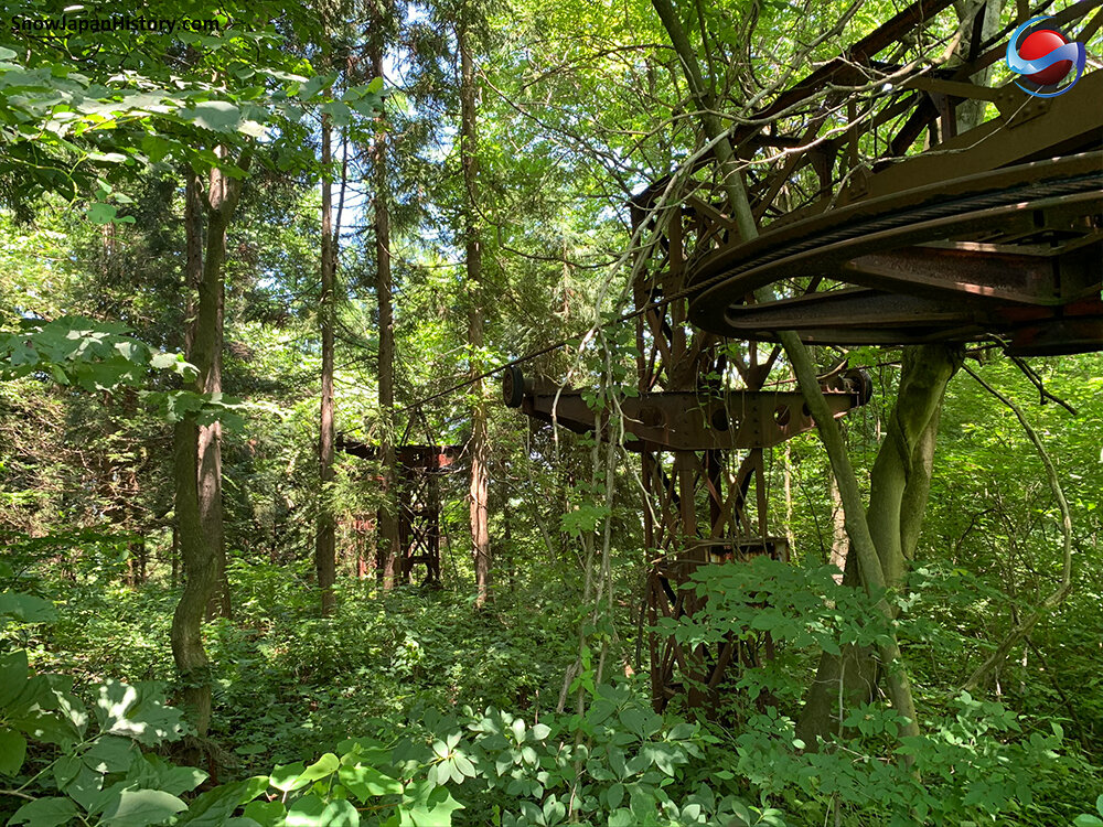


The pathway down
The pathway continues on beyond the ski lift. There are two official look-out points with benches and offering views of the surroundings. The path zigzags down the hill and at one point goes between two large towers of the ski lift, both deep in the forest. This is where the ski runs used to be.


Ski area base & lodge
Eventually there is a clearing and a fork in the pathway. Turning left takes you back to the Saruge neighbourhood, but turn right and the base of the ski area can be found. Here are the foundations of the Sarugedake Lodge building 猿毛岳ロッジ (the building that can be seen in the photographs inside the mountain hut). There is a road going back to the Saruge neighbourhood from this base area.


